• LAVA Moderator: Mysterier

Travel The MEGA Travel Thread!

Ya i did the same thing as eketamine but in north carolina so probably not near as intense. 75 days living with other teenage thugs. No outside contact or technology. We could not even use lighters for fire. All was made from bow drilling which is actually pretty sick. Hiked few hundred miles during those 75 days. To be honest i am happy i did it. I convinced them iwas done with the drugs so was not sent to a after program like most.

That was last year and i have probably hiked 200 miles since then all over north carolina. Definetly one of my hobbies now. Have a few hikes planned tgis summer!
 
heading here in november. tickets are purchased and i plan to start boring you all with pictures now:

torres-del-paine-shot.jpg


alasdair
 
heading here in november. tickets are purchased and i plan to start boring you all with pictures now:

torres-del-paine-shot.jpg


alasdair

Requesting you start a thread dedicated to said trip Ali. I'd love to get down there some day so bombard us with all the pics you like :)
 
Ill be doing a big loop in kings canyon/sequoia from the 25th to the 1st. I will also be hiking Mt Whitney (the highest moutain in the lower 48 states.

Pumped!
 
some pics from my 2005 trip, using a terrible point and click (and from my fb folder)

197252_1015576639138_5217_n.jpg

kathmandu

208768_1015576679139_5389_n.jpg

kala patthar

197892_1015585519360_6471_n.jpg


200284_1015586559386_6088_n.jpg


206232_1015586959396_1_n.jpg


207404_1015596639638_1525_n.jpg

namche bazaar

197040_1015597439658_531_n.jpg


196624_1015598839693_8066_n.jpg


197404_1015599119700_1760_n.jpg


198152_1015599679714_9497_n.jpg


205520_1015600559736_9542_n.jpg


oh man, excitement increasing. 18/09-31/10.
 
^Nice picture, very representative of what the coastal forests on the North Coast of CA and southern Oregon look like...

The best hike I've ever gone on was to the Pu'u'o'o lava vent on the Big Island of Hawaii....You can hike to within a mile or so of it on guided tours in Hawaii Volcanoes National Park, but there's a another trail that goes directly to the vent approaching it coming down the mountain from the north..It was grueling hike, and we left too late in the day so we unexpectedly had to camp that night!

We got to see actual molten lava...We probably shouldn't have walked directly up to edge of vent, which is a massive crack in the earth emitting steam and full of lava...but we had to do it, you only live once, and how many chances will you get to actually see lava?

Water and good footwear are essential....Nothing can ruin hiking worse that wet socks and shoes...Carryinng extra socks and layers of clothing in case you get stranded and it becomes cold are very important..
 
some pics from my 2005 trip, using a terrible point and click (and from my fb folder)

197252_1015576639138_5217_n.jpg

kathmandu

208768_1015576679139_5389_n.jpg

kala patthar

197892_1015585519360_6471_n.jpg


200284_1015586559386_6088_n.jpg


206232_1015586959396_1_n.jpg


207404_1015596639638_1525_n.jpg

namche bazaar

197040_1015597439658_531_n.jpg


196624_1015598839693_8066_n.jpg


197404_1015599119700_1760_n.jpg


198152_1015599679714_9497_n.jpg


205520_1015600559736_9542_n.jpg


oh man, excitement increasing. 18/09-31/10.

Those are some epic pictures, lefty. You look like a man with a particular set of skills in those pictures more than any others.
 
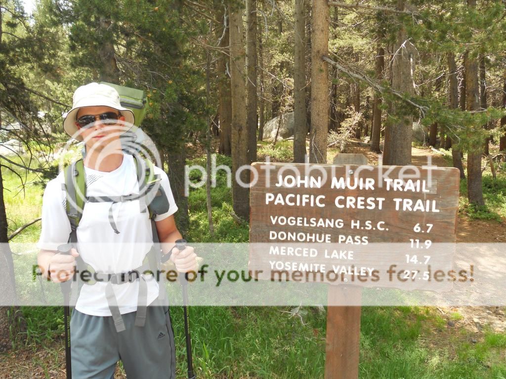
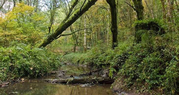
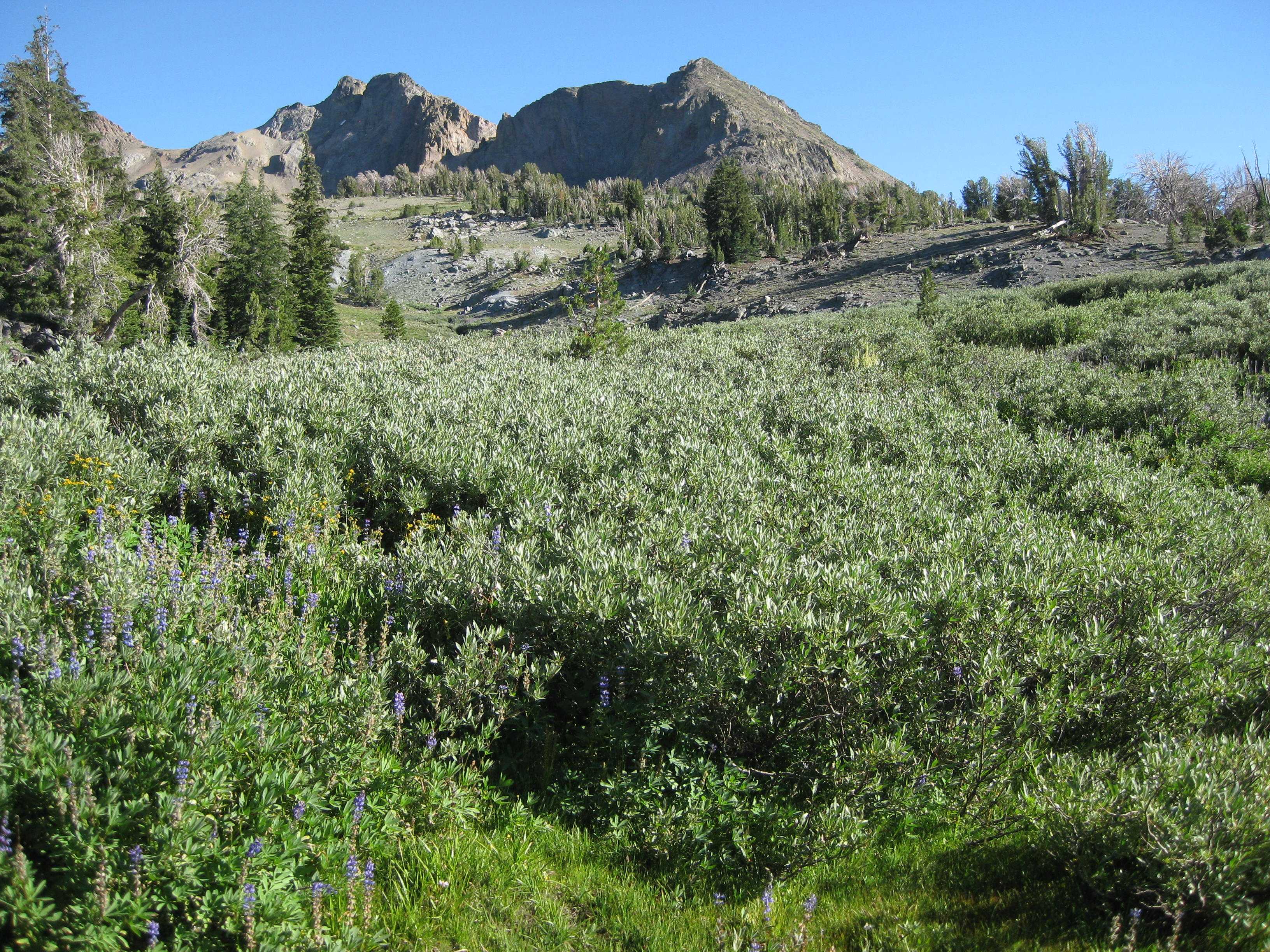
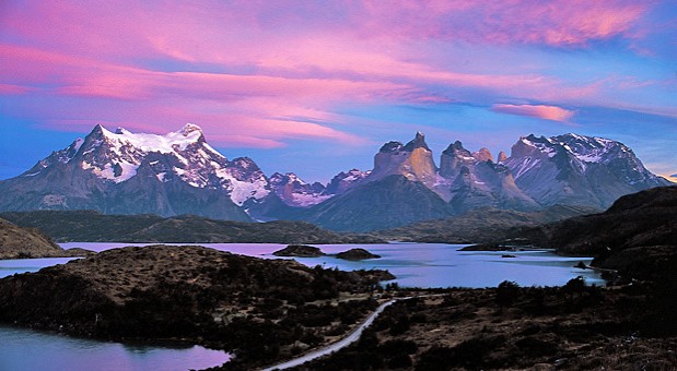
Hiking in the Austrian Alps

Some pictures of my hiking trip to Austria in July. It was unbelievably hot for being in Central Europe, some days were up to 40°C (104°F), which makes hiking quite demanding, even if it obviously is cooler at high altitudes.

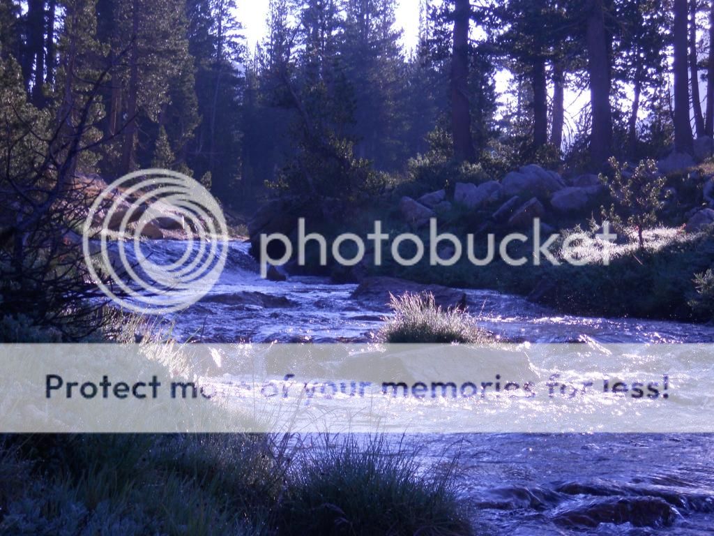
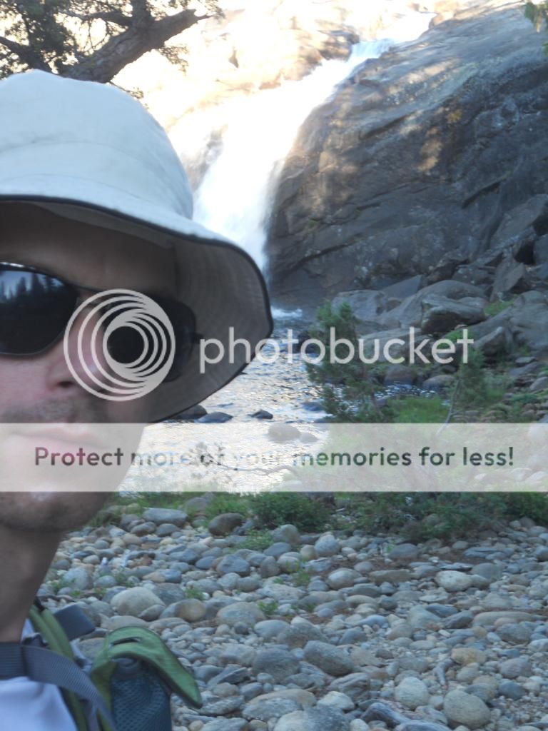
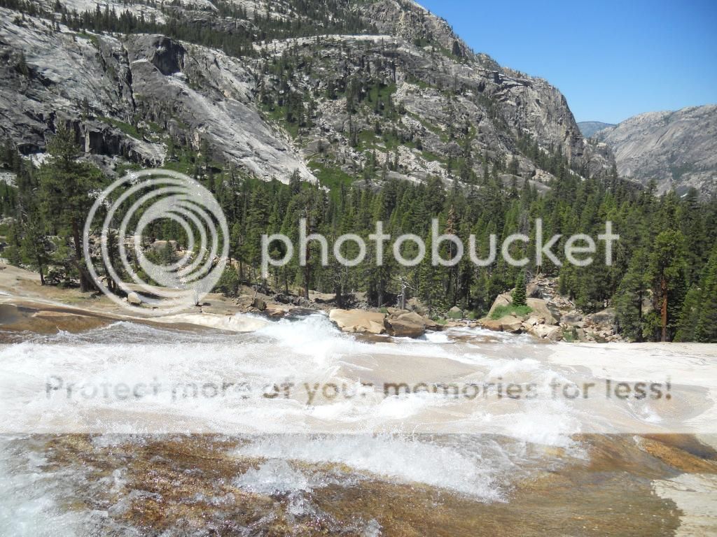
Below: Typical majestic valley of the Alps. The deep valleys and steep mountains are spectacular. The waterfall you see is the Krimml Waterfall, the 5th largest in the world (380 m, 1,247 feet)). Not very easy to reach though, car or bike is a must (if you aren't a professional cyclist riding through the 18 hairpin turns up and down)

28wfgn9.jpg


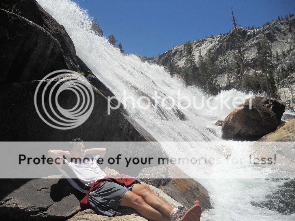
Below: The Krimmler Waterfall, just a small part of it. Unfortunately it's impossible to capture how massive it is because of its shape.

image.jpg


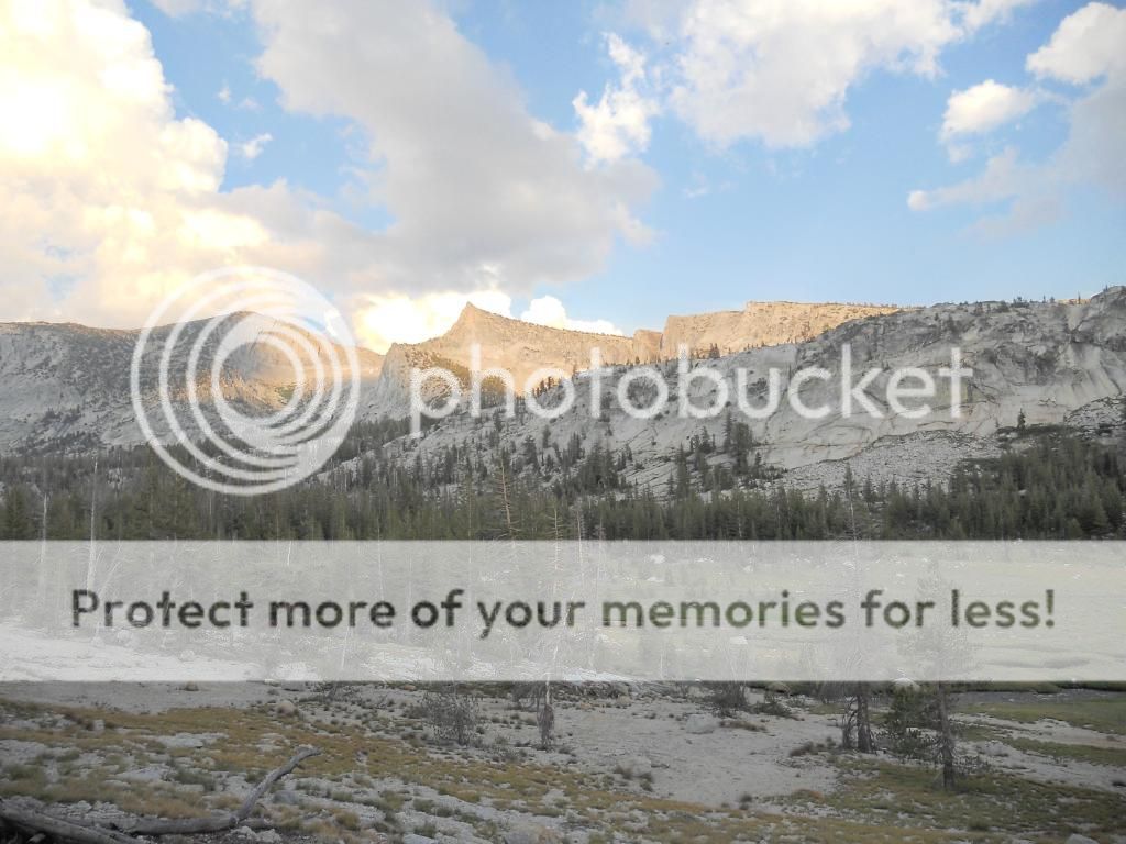
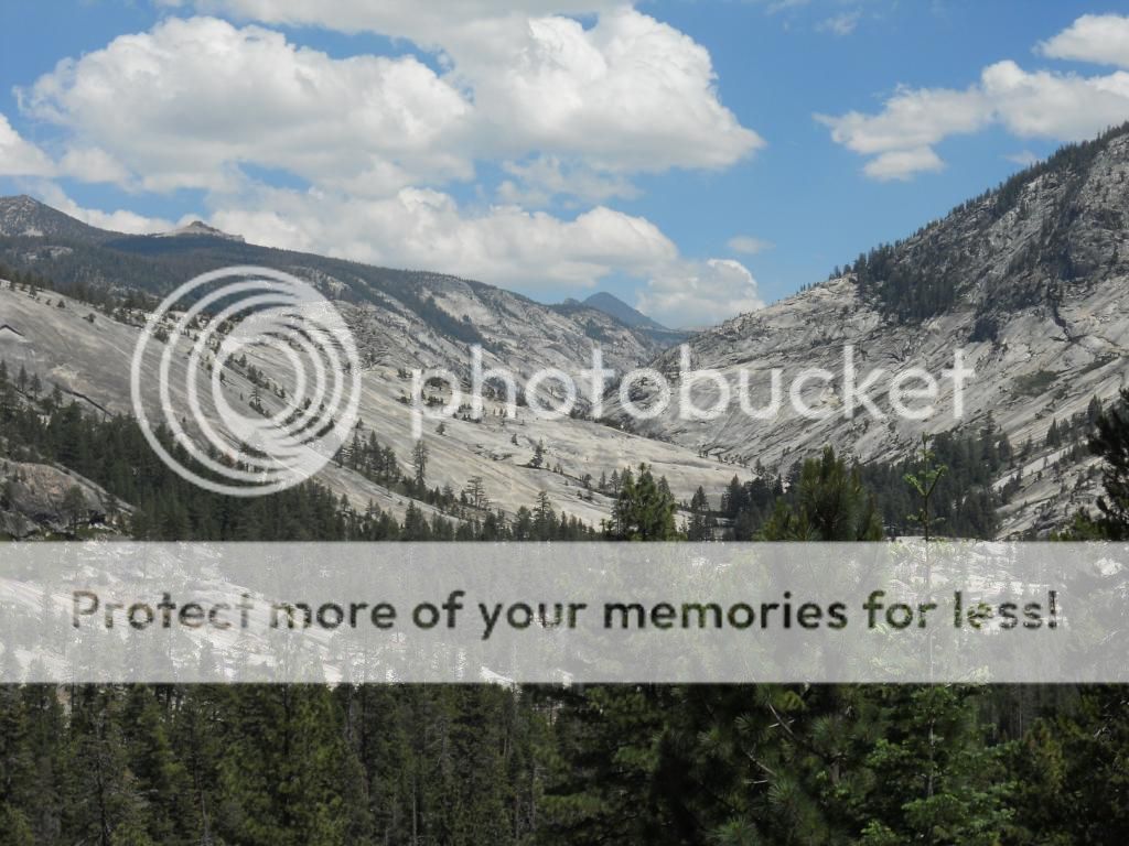
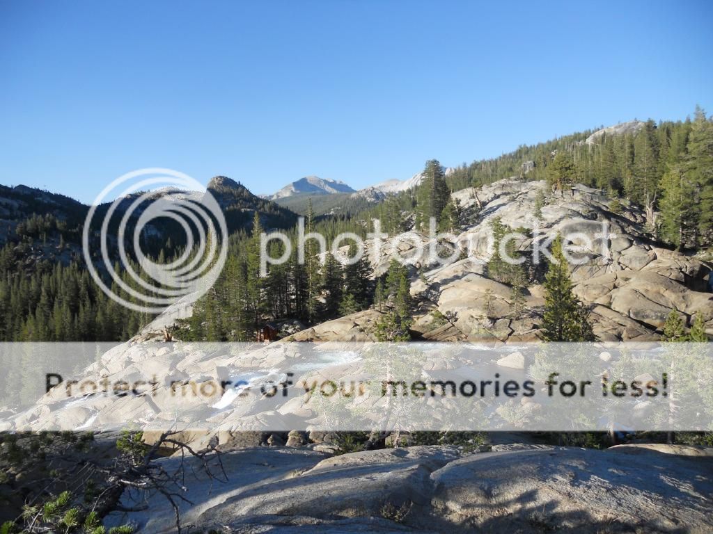
Below: The mountain left of the "pyramid" shaped mountain is Austria's highest mountain, Großglockner. From this picture it can hardly be seen, just a little glimpse of it. It looks like it has two tops, like it's split on the top in two parts. This mountain range is called Hohe Tauern, and contains most of Austria's highest mountains. Hohe Tauern has a quite high alpine feel to it, and by this I mean that while the mountains aren't as high as those in the Swiss and French Alps, they are still majestic and awe-inspiring.

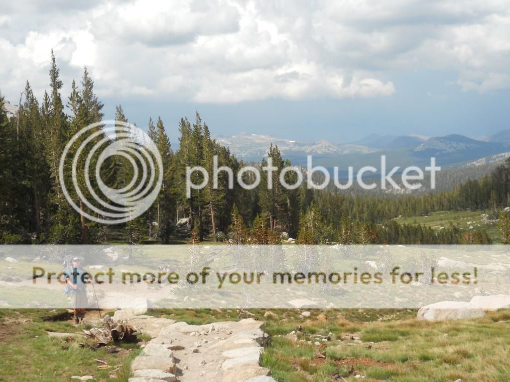
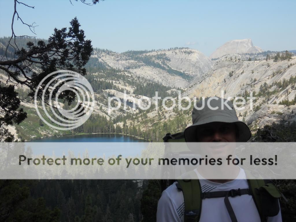
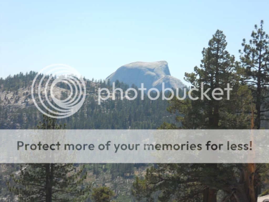
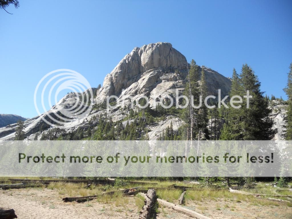
This picture is taken from Edelweißspitze (2571 m).

hohe1.jpg


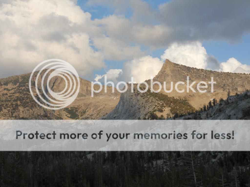
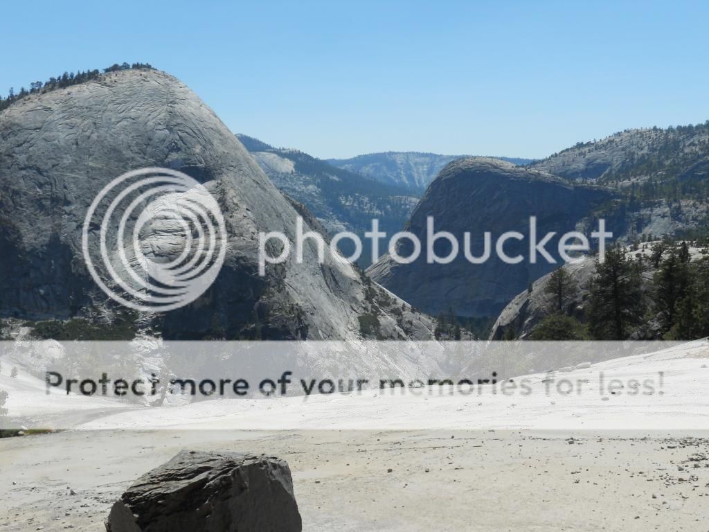
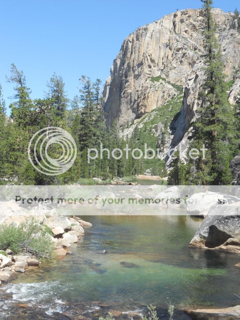
Below: A closer look at Großglockner (the one on the left). It has its own glacier too, but as it's so remotely located, it's hard to catch good glimpses of it. To be honest, it's no beauty, and quite hard to catch a good view of if you don't want to hike there for many days. Still, the Austrians are very proud of it. IMO there are many mountains in Austria that are more impressive.

gross.jpg


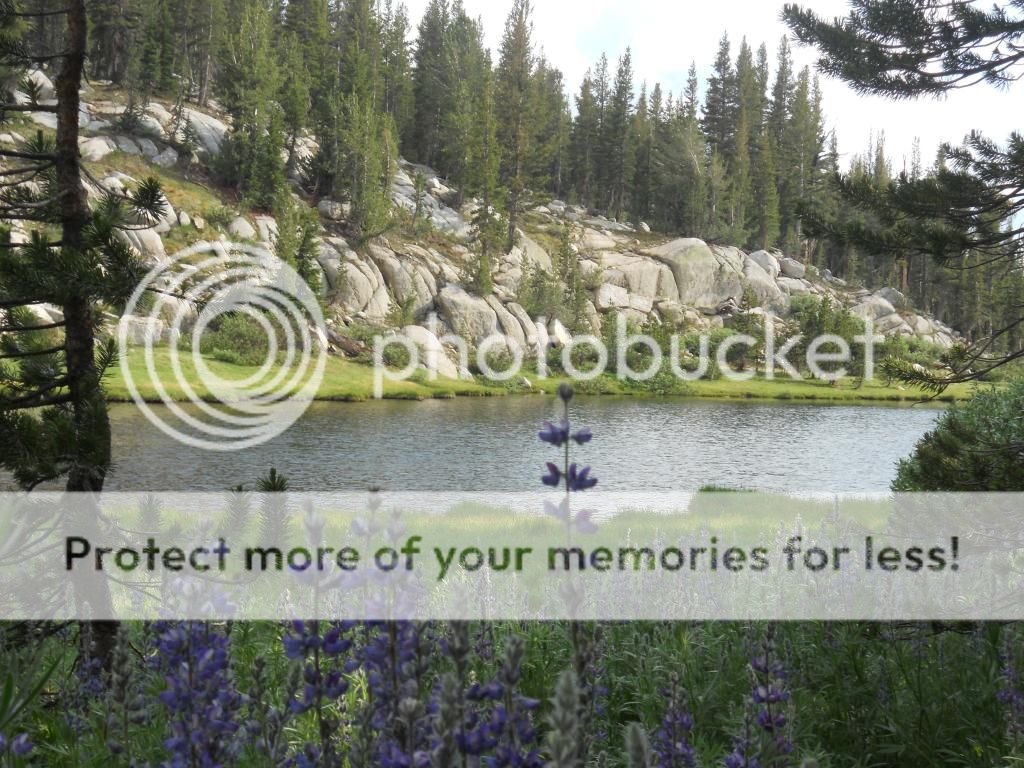
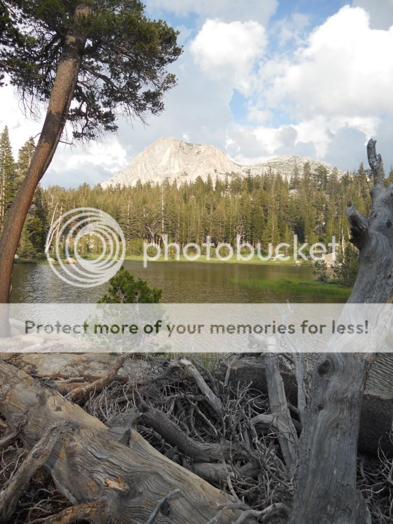
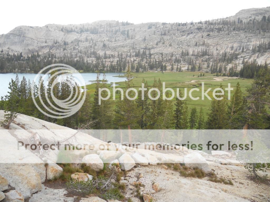
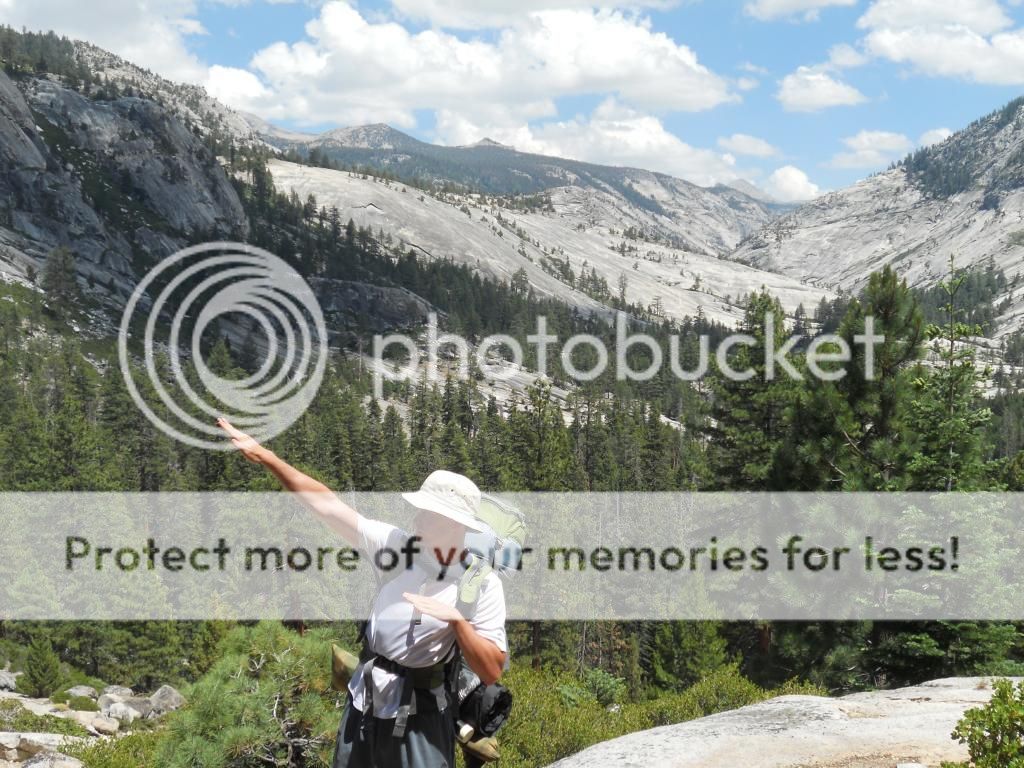
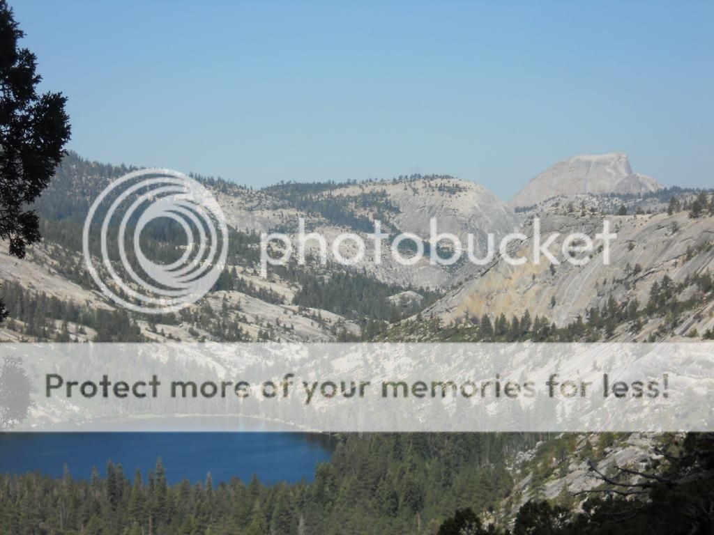
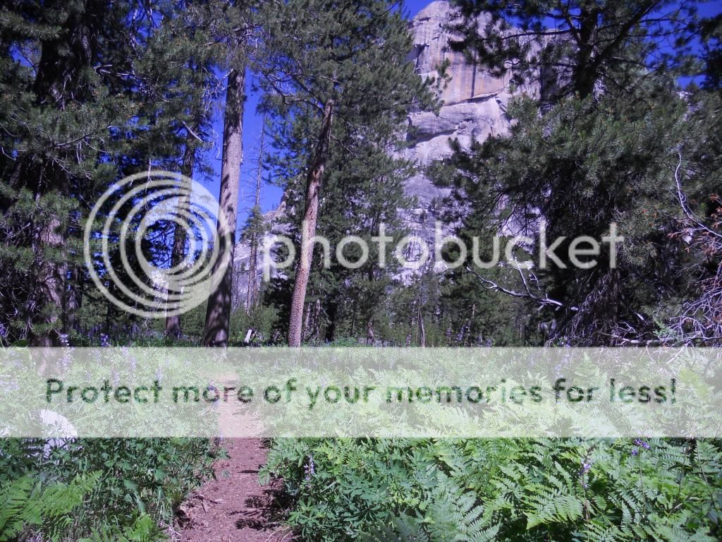
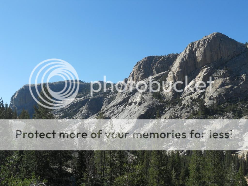
Below: Hohe Tauern National Park is a quite impressive place.

hohe2.jpg


Below: While not exactly hiking, the Grossglockner High Alpine Road I'd highly recommend. You can drive to the top of the mountain pass and hike from there too.

hoch.jpg

Below: Königssee (the King's sea), an alpine sea in Bavaria, Southern Germany (just a stone throw away from the border to Austria)

see.jpg


Southern Germany and Northern Austria don't differ much culturally, lingiusticually and traditionwise, you won't even notice you cross the border if you don't look at the signs. And yes, a considerable amount of the people here in these areas wear lederhosen. The German Bavarians are fiercely independent and consider themselves Bavarians first, and Germans second. The same applies to the Austrians. Bunde (state) comes before nation.

I've yet to find a more beautiful place to hike than the Alps, so I can highly recommend it. I've seen higher mountains, but the Alps make that up with splendid beauty. Austria is a wonderful place for hiking, but if you can affort it, go to Switzerland or France. The scenery there, with the likes of Matterhorn and Mont Blanc, is well worth the money.
 
Last edited:
care's monopoly on awesome sierra pictures is getting annoying :)

from a hike up by 4th of july lake this weekend:

sierranevada01.jpg


alasdair
 
Nice, such a weak year for wildflowers though :/

I love how the sierras have so many little spots that are awesome in their own unique way. Everywhere is so beautiful and there is so much variation that when you hike through it one days terrain may feel totally different than the last.

lovin all the pics everyone
 
current version of my nepal itinerary. i should be able to do the everest region quicker due to my acclimatised condition and possible access to cho la, linking gokyo with lobuche in one day.

NSFW:
18/09/2013 Sydney to Kathmandu 0m - 1400m
19/09/2013 Kathmandu 1400m
20/09/2013 Kathmandu to Besisahar to Jagat 1400m - 823m - 1400m bus 5hrs, bus 2 hrs
21/09/2013 Jagat to Dharapani 1400m - 1860m 6 hrs
22/09/2013 Dharapani to Chame 1860m - 2650m 6 hrs
23/09/2013 Chame to Pisang (visit upper, sleep lower) 2650m - 3183m 5 hrs
24/09/2013 Pisang to Manang (via gheru and upper manang) 3183m - 3540m 7 hrs
25/09/2013 Acclimitisation day, day trip
26/09/2013 Manang to Yak Kharka (visit Ledar and return) 3540m - 4000m 4 hrs
27/09/2013 Yak Kharka to Thorong Pedi 4000m - 4450m 4 hrs
28/09/2013 Thorong Pedi to Muktinath 4450m - 5416m - 3800m 7 hrs
29/09/2013 Muktinath to Kagbeni 3800m - 2800m 6 hrs
30/09/2013 Kagbeni to Marpha 2800m - 1630m
1/10/2013 Marpha to Ghasa 1630m - 2013m
2/10/2013 Ghasa to Tatopani 2013m - 1190m
3/10/2013 Tatopani to Ghorepani 1190m - 2835m
4/10/2013 Poon Hill, then Ghorepani to Tadapani 3210m, 2835m - ??m
5/10/2013 Tadapani to Chhomrong ??m - 2170m
6/10/2013 Chhomrong to Dovan 2170m - 2580m 6 hrs
7/10/2013 Dovan to Deurali 2580m - 3230m 4 hrs
8/10/2013 Deurali to Macchhapuchhre Base Camp 3230m - 3700m 4 hrs
9/10/2013 Machhapuchhre Base Camp to Annapurna Base Camp 3700m - 4130m 2 hrs
10/10/2013 Annapurna Base Camp to Bamboo 4130m - 2310m 6 hrs
11/10/2013 Bamboo to Jhinu Dada 2310m - 1760m 6 hrs
12/10/2013 Jhinu Dada to Pokhara 1760m - 915m 6 hrs (trek) 1hr (drive)
13/10/2013 Pokhara to Kathmandu 915m - 1400m
14/10/2013 Kathmandu 1400m
15/10/2013 Kathmandu to Lukla to Phakding 1400m-2860m - 2640m 3 hrs
16/10/2013 Phakding to Namche Bazaar 2640m - 3440m 6 hrs
17/10/2013 Acclimitisation day, trip to Thame and back 3480m
18/10/2013 Namche Bazaar to Dole 3440m - 4200m 5 hrs
19/10/2013 Dole to Gokyo 4200m - 4750m 6 hrs
20/10/2013 Gokyo Ri 5357m
21/10/2013 Gokyo to Phortse 4750m - 3840m 6 hrs
22/10/2013 Phortse to Pheriche 3840m - 4250m 5 hrs
23/10/2013 Pheriche to Lobuche 4250m - 4920m 5 hrs
24/10/2013 Kala Pattar 5545m
25/10/2013 Lobuche to Dingboche 4920m - 4410m 5 hrs
26/10/2013 Dingboche to Namche Bazaar 4410m - 3440m
27/10/2013 Namche Bazaar to Lukla 3440m - 2860m
28/10/2013 Lukla to Kathmandu 2860m - 1400m
 
Top